She Drew the Mountains Nobody Believed Were There — And Changed the Planet Forever
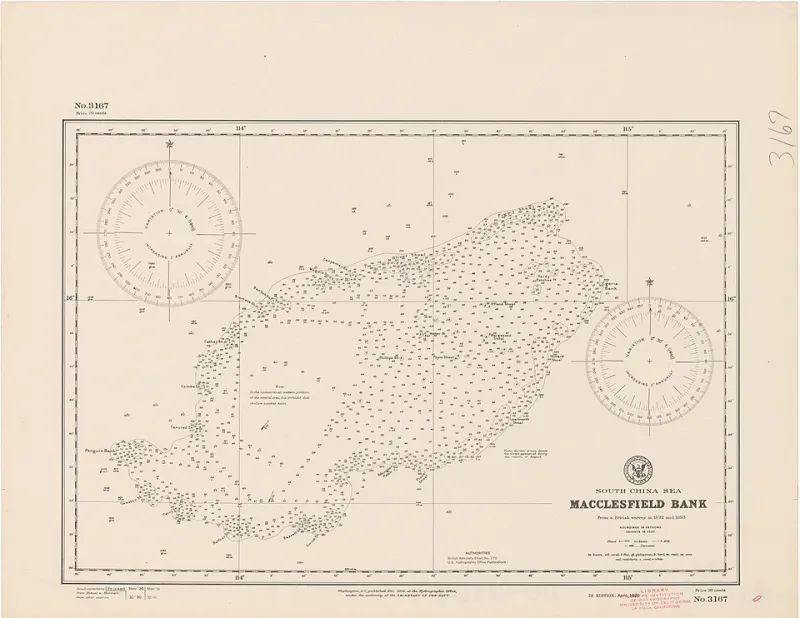
Photo: Secretary of the Navy, Hydrographic Office, Public domain, via Wikimedia Commons
Marie Tharp grew up watching men go into the ground. Her father was a soil surveyor for the U.S. Department of Agriculture, and her childhood in Ypsilanti, Michigan — with deep roots in the coal-country culture of Appalachia through family ties and the communities her father mapped — was shaped by the idea that what lay beneath the surface was worth understanding. It wasn't a glamorous idea. It was a practical one, rooted in land and labor and the quiet conviction that the earth held answers if you were patient enough to look.
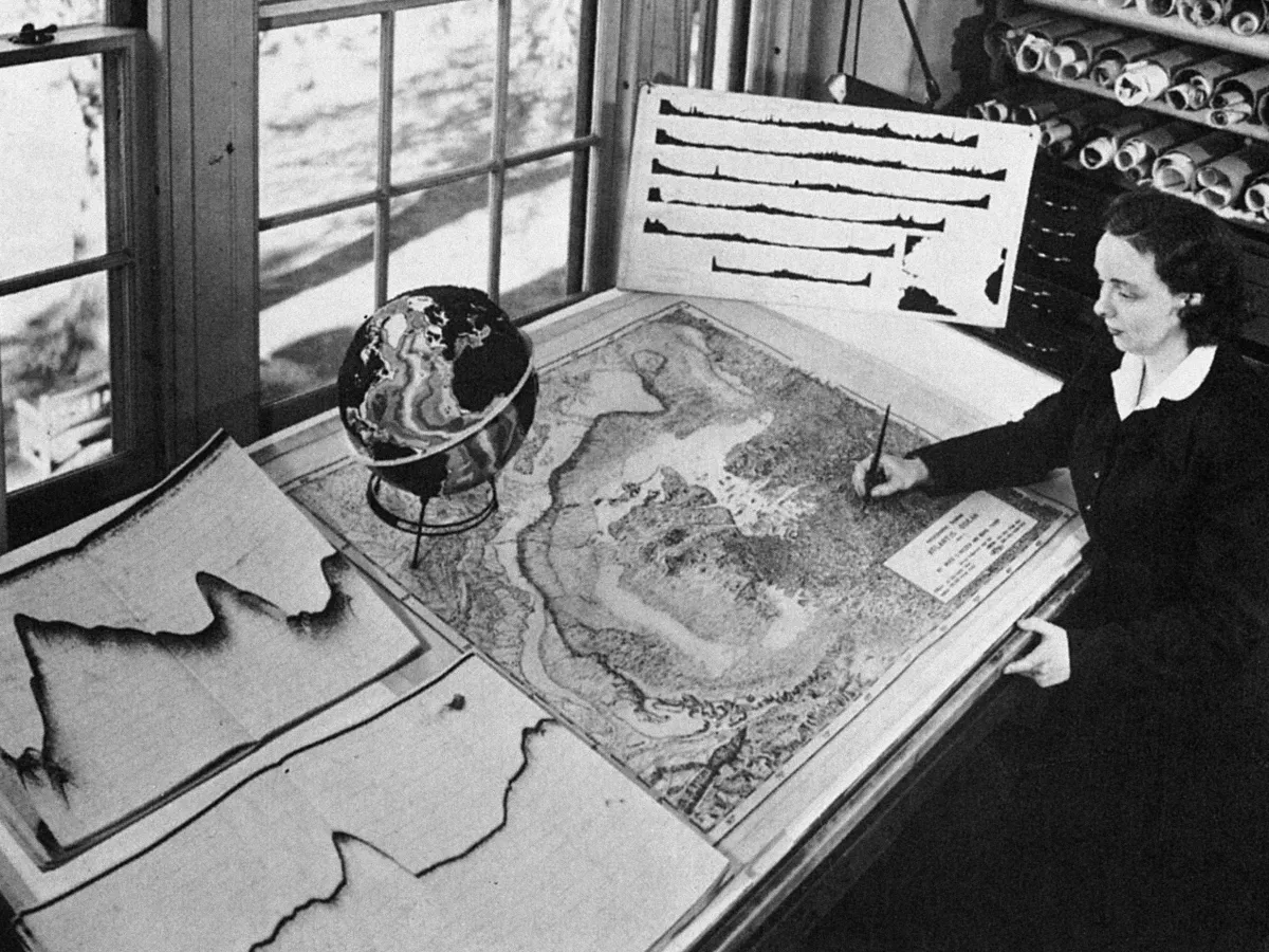 Photo: Marie Tharp, via static.independent.co.uk
She spent her adult life looking. And what she found changed the way humanity understands the planet it lives on.
The Door That Was Left Slightly Open
In the early 1950s, women in science occupied a specific and uncomfortable position: technically permitted, practically sidelined. Marie Tharp had earned a geology degree from the University of Michigan and a master's in mathematics from the University of Tulsa — credentials that were, by any measure, formidable. She'd pursued them partly because World War II had opened geology programs to women for the first time, with so many male students gone to war that universities needed to fill their classrooms somehow.
When she arrived at Columbia University's Lamont Geological Observatory in 1948, she found that her credentials got her in the door but not onto the research ships. Women weren't permitted on the oceanographic vessels that collected the sonar data she would spend her career analyzing. She would never personally measure the ocean floor. Instead, she would interpret measurements made by others — and what she found in those numbers would turn geology inside out.
Drawing What Nobody Could See
Her partner in the work was geologist Bruce Heezen, who collected sonar data from research cruises across the Atlantic. Heezen gathered the numbers. Tharp turned them into pictures.
This wasn't a simple task. Translating sonar depth readings into a coherent visual representation of the ocean floor required an almost architectural imagination — the ability to look at columns of numbers and see terrain. Tharp had that ability in extraordinary measure. Working at a drafting table in the Lamont basement, she began constructing profile after profile of the Atlantic Ocean floor, section by section, building toward a complete physiographic map of a landscape no human eye had ever seen.
What emerged was staggering. Down the center of the Atlantic, running roughly parallel to the coastlines of the Americas on one side and Europe and Africa on the other, was a continuous mountain range — the Mid-Atlantic Ridge — with a deep valley, a rift, running along its spine. It was one of the largest geological features on Earth, and until Tharp drew it, science had no real picture of it at all.
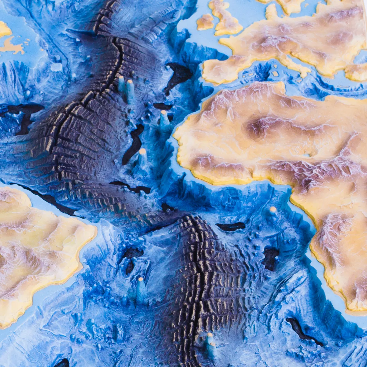 Photo: Mid-Atlantic Ridge, via www.3bscientific.com
She brought her finding to Heezen. He told her it was girl talk.
The Theory That Wasn't Supposed to Be Hers
The rift valley Tharp had identified wasn't just a geographical curiosity. It matched, almost perfectly, the locations where earthquake epicenters clustered along the Atlantic floor. This was not a coincidence. This was evidence — powerful, spatial, visual evidence — that the ocean floor was pulling apart at the ridge, that new crust was being created there, and that the continents on either side were moving away from each other.
This was continental drift. Or more precisely, it was what would become the theory of plate tectonics — the foundational framework of modern geology, which holds that Earth's crust is divided into massive plates that move, collide, and pull apart over geological time.
In the early 1950s, continental drift was not a respected scientific position. It had been proposed by Alfred Wegener in the early twentieth century and largely dismissed by the American geological establishment, which found it too speculative and lacked a convincing mechanism to explain how continents could actually move. Tharp's map provided exactly that mechanism — visual, data-driven, undeniable — but it took years before even Heezen accepted what she was seeing.
He came around. The earthquake data was too consistent with her rift valley to ignore. By the late 1950s, Heezen was publicly championing the significance of the Mid-Atlantic Rift — with Tharp's name attached to the work in a secondary role that understated her contribution considerably.
A Map That Traveled the World
In 1977, Tharp and Heezen — working with Austrian painter and cartographer Heinrich Berann — published a complete physiographic map of the world's ocean floors. It was a masterpiece of scientific illustration: accurate, comprehensive, and visually stunning in a way that made the invisible suddenly obvious. The National Geographic Society distributed it widely. It ended up on classroom walls and in textbooks and in the offices of geologists around the world.
By then, plate tectonics had been accepted as the organizing theory of geology for nearly a decade. The scientific community had moved on to building on the framework Tharp's work had helped establish. Her name, however, was not always the first one mentioned when the history of that revolution was told.
Heezen died in 1977, the same year the ocean floor map was published, while on a research dive near Iceland. Tharp continued working, continued refining, and continued being underacknowledged for another quarter century.
Recognition, Eventually
In 1997, the Library of Congress named Marie Tharp one of the four greatest cartographers of the twentieth century. In 2001, Columbia University — the institution whose research ships had refused to let her aboard fifty years earlier — gave her the Lamont-Doherty Heritage Award.
She died in 2006 at the age of 86, in South Nyack, New York, having lived long enough to watch the scientific world fully absorb a truth she had drawn by hand in a basement while people called it girl talk.
The mountains she mapped had been there for millions of years. It just took one woman with a drafting pencil, a head for numbers, and an unreasonable amount of patience to show the rest of us they existed.