Banned from the Water, She Charted the Entire Ocean
The Wrong Side of the Gangplank
In the early 1950s, the deep ocean was one of the last genuinely unknown places on Earth. Not unknown in a romantic, explorers-with-compasses sense — unknown in the sense that nobody had any real idea what the bottom looked like. Mountains? Plains? A flat, featureless abyss? The best maps of the time were guesswork dressed up in cartographic confidence.
Marie Tharp wanted to find out. She had the education — degrees in geology and mathematics from the University of Michigan — and she had the job, working at Columbia University's Lamont Geological Observatory in New York. What she didn't have was permission to get on a boat.
 Photo: Columbia University's Lamont Geological Observatory, via sococonstruction.com
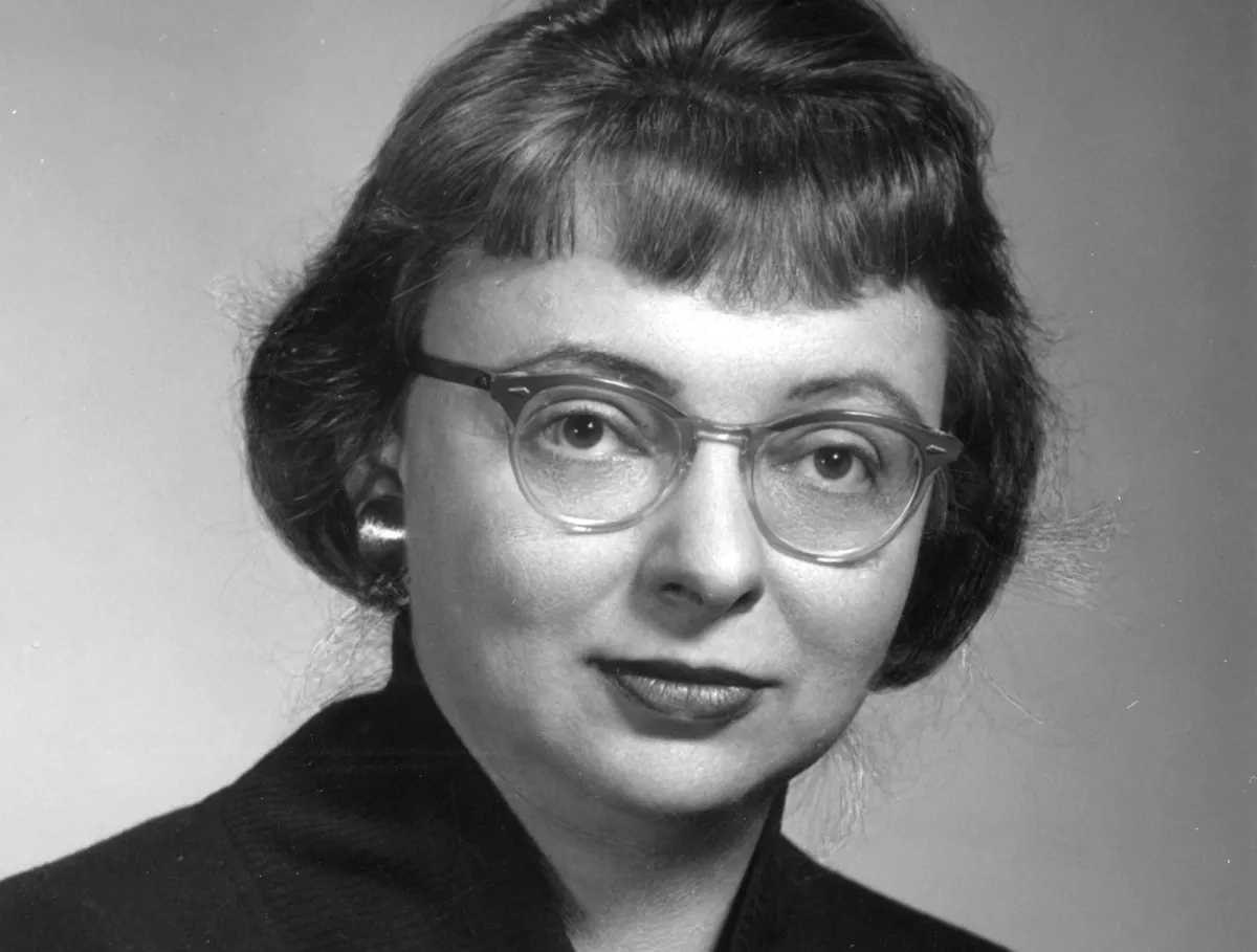 Photo: Marie Tharp, via cdn.britannica.com
In the 1950s, women were considered bad luck on research vessels. It wasn't a formal policy so much as a deeply entrenched superstition that nobody felt the need to defend too strenuously, because nobody in charge was particularly motivated to challenge it. Tharp's male colleagues sailed out to the Atlantic, lowered sonar equipment into the water, and came back with reams of raw depth data. She stayed in the office.
This turned out to be one of the most consequential miscalculations in the history of science.
A Desk, Some Data, and a Ruler
Tharp's job was to take the numbers her colleagues brought back and turn them into something visual. She was, in the institutional language of the time, a "girl" doing drafting work — the kind of support role that kept operations running without ever appearing on a byline.
But Tharp approached the data the way a detective approaches a crime scene. She plotted depth measurements across profile lines — vertical cross-sections of the Atlantic's bottom — and began to see something nobody expected. Running down the center of the Atlantic Ocean, there was a valley. Not just a dip in the terrain. A massive, continuous rift, miles deep, stretching the full length of the Mid-Atlantic Ridge.
This was significant for a reason that went far beyond geography. In the 1950s, the theory of continental drift — the idea that the Earth's continents had once been joined and had slowly moved apart — was still widely dismissed by mainstream geologists, particularly in the United States. The dominant view was that the ocean floors were ancient and static, and that the continents had always been where they were.
A central rift valley running the length of the Atlantic was exactly the kind of feature you'd expect to find if the ocean floor were spreading apart — if new crust were being created at the center and pushing the continents in opposite directions. It was, in other words, a smoking gun for plate tectonics.
When Tharp showed her findings to her colleague and collaborator Bruce Heezen, his first response was to tell her she was wrong. Her interpretation, he said, was "girl talk."
The Map That Rewrote the Planet
Tharp didn't argue. She went back to the data and checked it again. And again. The valley was there every time.
Slowly, Heezen came around. As more sonar data came in from other parts of the world's oceans, the pattern held. There wasn't just a rift in the Atlantic — there was a continuous underwater mountain range circling the entire globe, more than 40,000 miles long, with a rift running along its spine. It was the largest geological feature on Earth, and nobody had seen it because nobody had looked.
Tharp spent years refining her maps, collaborating with Austrian painter Heinrich Berann to produce a physiographic diagram of the ocean floor that was both scientifically rigorous and visually stunning. When the full map of the world ocean floor was finally published in 1977, it landed in National Geographic and was distributed to schools across the country. Millions of Americans grew up looking at it on classroom walls.
The map did more than show what the bottom of the ocean looked like. It provided some of the most compelling visual evidence for plate tectonics at a time when the theory was still fighting for acceptance. The rift valley Tharp had identified was the mechanism — the place where the Earth's crust was literally pulling apart. Her map made the abstract concrete, and the scientific establishment began to shift.
The Credit That Took Decades to Arrive
For most of her working life, Tharp's contributions were systematically minimized. Heezen's name appeared first on papers and presentations. The institutional structure of mid-century science was built around a simple assumption: the men go to sea and do the science; the women process the results. That Tharp was doing something far more than processing — that she was making the interpretive leaps that drove the whole project — was inconvenient for a system that had already decided who the scientists were.
It wasn't until 1995, when the Library of Congress named her one of the four greatest cartographers of the twentieth century, that the broader public got a glimpse of what she had actually accomplished. Lamont didn't formally recognize her contributions until well after her death in 2006.
She spent her final years in relative obscurity in Nyack, New York, surrounded by the maps she had spent her life making. She was never bitter about it, at least not publicly. In interviews, she tended to focus on the work itself — on the joy of translating raw numbers into a picture of something nobody had ever seen.
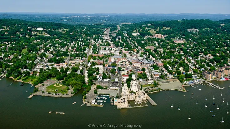 Photo: Nyack, New York, via i.pinimg.com
What Exclusion Built
Here's the strange irony at the center of Marie Tharp's story: the people who kept her off the research ships may have inadvertently given her something more valuable than access. By forcing her to work entirely from data — to build her understanding of the ocean floor through analysis rather than direct observation — they pushed her to develop an almost unparalleled ability to read numbers and find patterns that others missed.
She couldn't see the ocean floor. So she learned to think it into existence from the evidence available. That's not a consolation prize. That's a superpower.
The ocean didn't give up its secrets to the people who sailed over it. It gave them up to the woman who sat at a desk in New York and refused to stop looking.